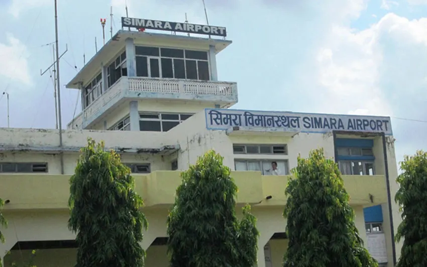
Airport · Simara, Nepal
Simara Airport SIF
0 km from central Simara. Live flights, getting to town, car rental and where to stay.
- to the centre
- 0 km
- terminals
- 1
- local time
- --:--
- IATA · ICAO
- SIF · VNSI
About the airport
Simara Airport serves Simara. It is a small regional airport with limited scheduled domestic flights; many of these mountain airstrips are served only by small aircraft, and flights are frequently affected by weather.
Terminals
A single, small terminal building, with arrivals and departures under the same roof. It is a small regional airport with limited scheduled domestic flights — many of these mountain airstrips are served only by small aircraft, and flights are frequently affected by weather.
Services
The airport has basic services: cafés, shops, and information desks. A taxi is the usual way to get to and from the airport.
Getting to the city
Taxi
Taxis or pre-arranged transport wait outside the terminal, or can be booked through your hotel or trekking agency; agree the fare before getting in.
Airport map
A single, small terminal building, with arrivals and departures under the same roof. It is a small regional airport with limited scheduled domestic flights — many of these mountain airstrips are served only by small aircraft, and flights are frequently affected by weather.
Simara
Things to do in Simara
Simara, in Nepal's southern plains, is a small transit town near the Indian border.
Frequently asked questions
How far is the airport from central Simara?
Simara Airport airport is about 0 km from central Simara.
How do I get from the airport to central Simara?
From Simara Airport airport you can take Taxi. Pre-booked taxis and private transfers are also available.
How many terminals does Simara Airport airport have?
Simara Airport has one terminal: Terminal.
Landing in Simara?
Book your car and your stay before you arrive: more choice and better prices.
Photo credits
- Photo of the airport: Barakhabar, CC BY-SA 4.0, Wikimedia Commons