
Mayon Volcano
A near-perfectly conical active volcano overlooking Legazpi, one of the Philippines' most photographed sights.
Tickets →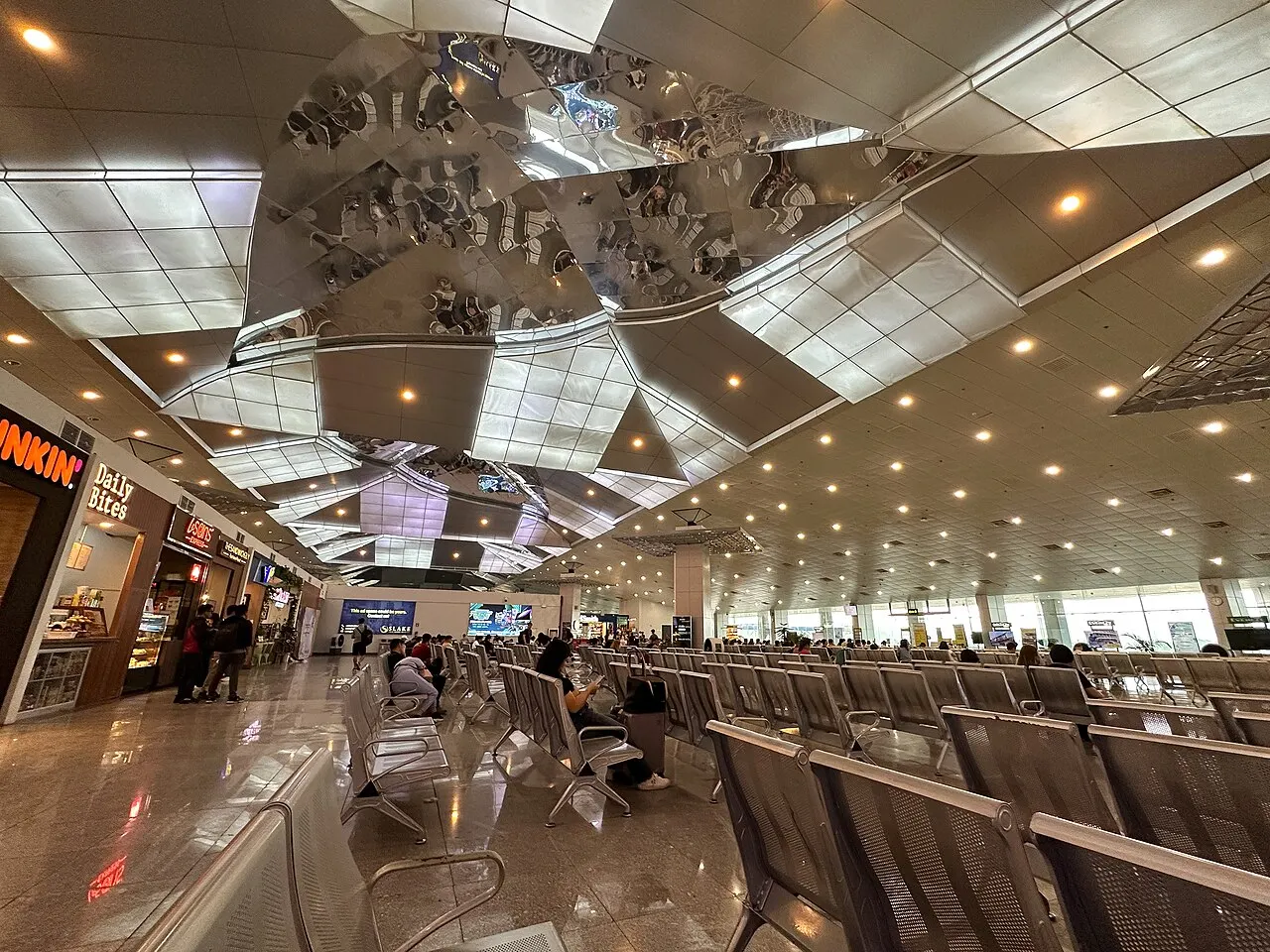
Airport · Legazpi, Philippines
2 km from central Legazpi. Live flights, getting to town, car rental and where to stay.
Bicol International Airport serves Legazpi. It is a small regional airport with limited scheduled domestic flights.
A single, small terminal building, with arrivals and departures under the same roof. It is a small regional airport with limited scheduled domestic flights.
Basic facilities are available, so it is worth arriving prepared; hotels, restaurants and shops are in the city. A taxi is the usual way to get to and from the airport.
Metered taxis and ride-hailing apps such as Grab wait outside the terminal; agree the fare or confirm the meter before setting off.
A shuttle, van (UV express) or local jeepney connects the airport with the centre of Legazpi, timed around flights.
A single, small terminal building, with arrivals and departures under the same roof. It is a small regional airport with limited scheduled domestic flights.
Legazpi
Legazpi, in the Bicol region, sits in the shadow of Mayon Volcano, famous for its perfect cone shape.
A near-perfectly conical active volcano overlooking Legazpi, one of the Philippines' most photographed sights.
Tickets →Bicol International Airport airport is about 2 km from central Legazpi.
From Bicol International Airport airport you can take Taxi and Bus. Pre-booked taxis and private transfers are also available.
Bicol International Airport has one terminal: Terminal.
Book your car and your stay before you arrive: more choice and better prices.